
To sell Bannock County land, gather your deed, parcel number and maps. Use current county links to fill record gaps, then compare similar sales, buyer routes and the full costs and terms of written offers.
Tell us about your land. There’s no obligation to accept an offer.
Start with what you know. These steps will help you get ready and choose the way to sell that fits you.
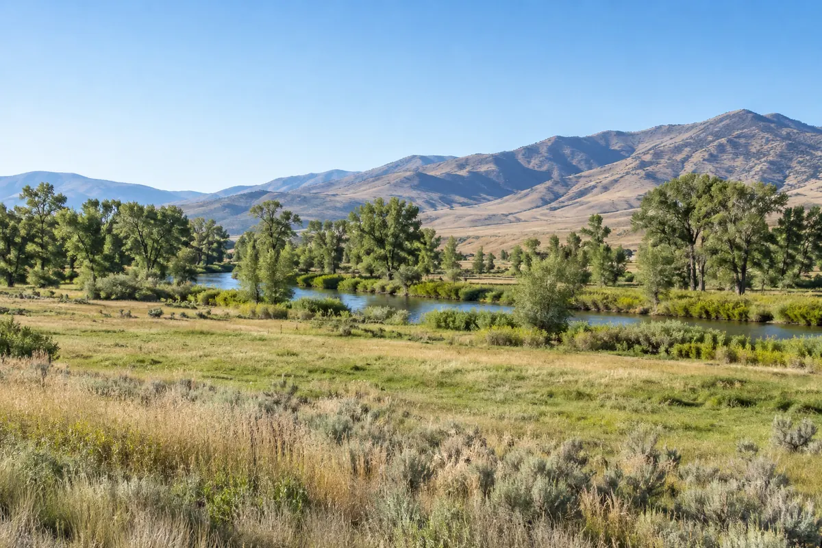
Find a recent tax bill, deed and map. Copy the full parcel number, names on the deed and acres shown in your papers. For several tracts, keep a line for each and mark which ones you want to sell.
You can begin with missing papers. Say what you know and what you need help finding. A clear location and a short question are more useful than a guessed acreage or street address.
The Bannock County GIS page announces a newer Parcel Viewer and says information from the expired Surveyor Reference Map is on the Planning Map. Start there instead of assuming a failed saved link means a land record is gone.
Keep the parcel number and the question with your search. Save a useful result with its source and date, then compare it with your deed and any survey. If a line or acreage differs, keep both versions and explain the gap.
Use a map to help describe the tract and plan a visit. Share full recorded papers with the closing team for boundary or road-right questions. Ask which record or review would help rather than promising that a new screen view settles the issue.
Give directions from a public road and mark the entrance. Note gates, shared drives and who can arrange a visit. Share written road-use papers you have. Keep an existing survey for questions about the land’s edges.
List known well, water, septic and power service. Share any irrigation, lease or other land-use papers in your file. Explain what has not been checked. A nearby road or line alone does not answer every access or service question. Ask the proper office or provider before promising a future use.
Look for completed sales with similar access, usable ground, services and known limits. Then compare acres. A small lot with services may be a poor match for a large tract without them.
Save the sale date and key differences. Keep asking prices and tax values separate from completed sale prices. A local land agent or appraiser can help explain a range when good matches are scarce.
An agent can help with pricing, ads, calls, visits and offers. Ask about land experience, fees and the listing term. Selling yourself means taking on those tasks and keeping track of buyer questions.
A direct buyer is another choice. Ask what it still needs to check and which costs you pay. Reelvest can review your land if you share the details. Compare any offer with your other choices. Our Idaho land seller guide has more starting help.
Check the parcel list, price, deposit, seller costs, buyer checks and target closing date. Ask what lets either side cancel or seek a change. Make sure leases and included items are addressed in writing.
Ask the closing team to estimate what you would keep after taxes, loans and fees. Mark costs that are still unknown and ask which figures may change. Our offer worksheet helps put the terms side by side.
Mention shared owners, an old loan or a name change early. Ask who handles closing, what it needs and who must sign. Keep one short list of remaining tasks and who will handle each.
If you are handling inherited land or helping settle a loved one’s estate, start with the papers you have. Ask which documents and signatures are needed. Our document checklist can help track copies. Confirm how payment will arrive before relying on a date.
Its GIS page links to a newer Parcel Viewer and directs the former Surveyor Reference Map information to the Planning Map.
Start from the current county links and ask the office about the specific record. A failed link alone does not establish that the paper is gone.
Keep its source, date and parcel number. Compare it with your deed and any survey, and note what differs.
Yes. Explain the question and share both records. Ask which review is needed before relying on the land description or target date.
Local source links reviewed October 27, 2026.